Sonia is a GIS modelling expert at multiple scales, specialising in visualisation of geographic data and spatial and temporal ecological modelling.

Sonia is a GIS modelling expert at multiple scales, specialising in visualisation of geographic data and spatial and temporal ecological modelling.
Anita specialises in the governance of Red panda conservation and natural habitat protection, sociological perspective of climate change, natural resource management including forestry, red panda, institutional development of a community forest user group, gender and social inclusion.

Upama has expertise in Remote sensing and GIS, application of RS-GIS in natural resources management studies, Climate change, forest and disaster, ecosystem services, PES, Agriculture.
Tatiana is a post-doctoral researcher at Woodwell Climate Research Center research. Her interests span the fields of terrestrial ecology, stable isotope biogeochemistry, ecosystem modelling and climate change impacts on natural ecosystems.
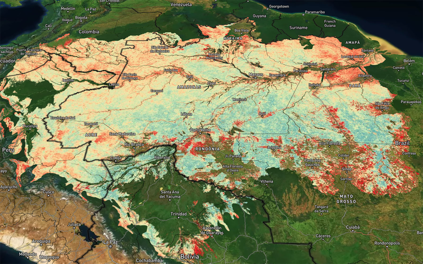
Forest stability is a key component of ecosystem integrity and primary forests. Current remote sensing products largely focus on deforestation rather than forest degradation, and depend on machine learning calibrated with extensive field measurements. To address this, we used MODIS time series to develop a novel approach for mapping forest stability across forest biomes.

Pat is a spatial research scientist focusing on the environment, forests and protected areas.
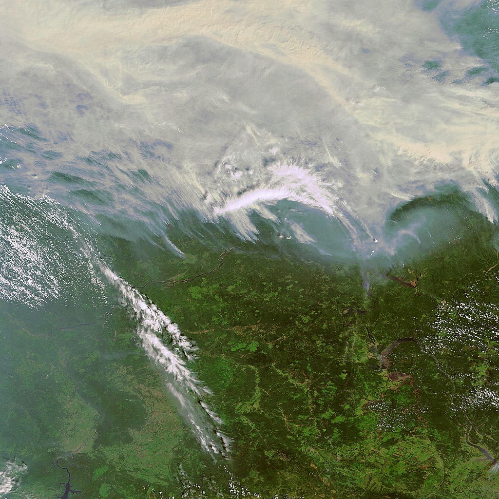
Using remote sensing time series, we found increasing trends in fire and logging disturbances in primary forests of the Angara case study region. We also found large increases in fires closer to human settlements, roads, and logged sites.
This report has been prepared to review and assess definitions relating to primary forests; to collate and evaluate the datasets and methods currently available for measuring the extent of primary forests; and to provide options for defining, assessing and reporting on primary forests.