Mapping forest stability within major biomes using MODIS time series

Forest stability is a key component of ecosystem integrity and primary forests. Current remote sensing products largely focus on deforestation rather than forest degradation, and depend on machine learning calibrated with extensive field measurements. To address this, we used MODIS time series to develop a novel approach for mapping forest stability across forest biomes.

Deforestation and forest degradation from human land use, including primary forest loss, are of growing concern. The conservation of old-growth and other forests with important environmental values is central to many international initiatives aimed at protecting biodiversity, mitigating climate change impacts and supporting sustainable livelihoods.

Current remote sensing products largely focus on deforestation rather than forest degradation and are dependent on machine learning, calibrated with extensive field measurements. To help address this, we developed a novel approach for mapping forest ecosystem stability, defined in terms of constancy, which is a key characteristic of long-undisturbed (including primary) forests.

Our approach categorises forests into stability classes based on satellite data time series related to plant water-carbon relationships. Specifically, we used long-term dynamics of the fraction of photosynthetically active radiation intercepted by the canopy (fPAR) and shortwave infrared water stress index (SIWSI) derived from the Moderate Resolution Imaging Spectroradiometer (MODIS) for the period 2003–2018.

We calculated a set of variables from annual time series of fPAR and SIWSI for representative forest regions at opposite ends of Earth’s climatic and latitudinal gradients: boreal forests of Siberia (southern taiga, Russia) and tropical rainforests of the Amazon basin (Kayapó territory, Brazil). Independent validation drew upon high-resolution Landsat imagery and forest cover change data.

Results indicate that the proposed approach is accurate and applicable across forest biomes, and thereby provides a timely and transferrable method to aid in the identification and conservation of stable forests. Information on the location of less stable forests is equally relevant for ecological restoration, reforestation, and proforestation activities.

Mapped forest stability classes: Top left: South Taiga ecoregion (Siberia, Russia); Top right: Kayapó territory (Amazon Basin, Brazil). Satellite imagery exemplifying heterogeneous landscapes in [bottom left] Southern Taiga ecoregion and [bottom right] Kayapó territory in comparison with the distribution of forest stability classes as defined in this study.

Article authors

Tatiana Shestakova

Tatiana Shestakova

Tatiana is a post-doctoral researcher at Woodwell Climate Research Center research. Her interests span the fields of terrestrial ecology, stable isotope biogeochemistry, ecosystem modelling and climate change impacts on natural ecosystems.
Dr Brendan Mackey

Brendan Mackey

Project Director and Director of the Griffith Climate Action Beacon at Griffith University, contributing to community planning and engagement in forest projects.
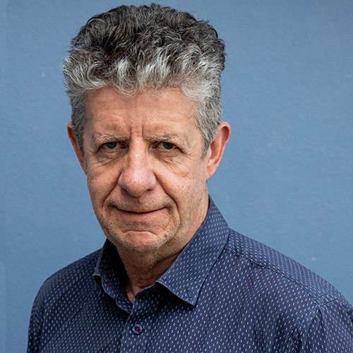
Brendan Rogers

Brendan Rogers

Dr. Rogers investigates how boreal forests are responding to climate change and land use, how this feeds back to climate change, and how management and policy can be used for mitigation and adaptation.
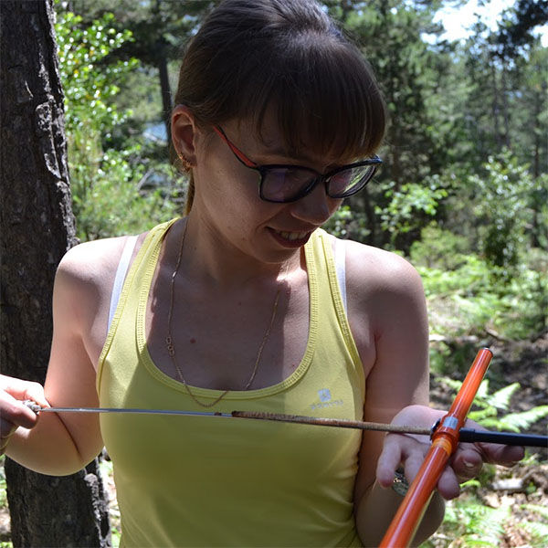
Sonia Hugh

Sonia Hugh

Sonia is a GIS modelling expert at multiple scales, specialising in visualisation of geographic data and spatial and temporal ecological modelling.

Additional authors

Jackie Dean, Elena Kukavskaya, Jocelyne Laflamme, and Evgeny Shvetsov.

Reference

Shestakova TA, Mackey B, Hugh S, Dean J, Kukavskaya EA, Laflamme J, Shvetsov EG, Rogers BM. Mapping Forest Stability within Major Biomes Using Canopy Indices Derived from MODIS Time Series. Remote Sensing. 2022; 14(15):3813. https://doi.org/10.3390/rs14153813