Project members working data and information services
Brendan Mackey
Project Director and Director of the Griffith Climate Action Beacon at Griffith University, contributing to community planning and engagement in forest projects.

Brendan Rogers
Dr. Rogers investigates how boreal forests are responding to climate change and land use, how this feeds back to climate change, and how management and policy can be used for mitigation and adaptation.
Tatiana Shestakova
Tatiana is a post-doctoral researcher at Woodwell Climate Research Center research. Her interests span the fields of terrestrial ecology, stable isotope biogeochemistry, ecosystem modelling and climate change impacts on natural ecosystems.

Patrick Norman
Pat is a spatial research scientist focusing on the environment, forests and protected areas.
Data and information services publications
Mapping forest stability within major biomes using MODIS time series
Forest stability is a key component of ecosystem integrity and primary forests. Current remote sensing products largely focus on deforestation rather than forest degradation, and depend on machine learning calibrated with extensive field measurements. To address this, we used MODIS time series to develop a novel approach for mapping forest stability across forest biomes.
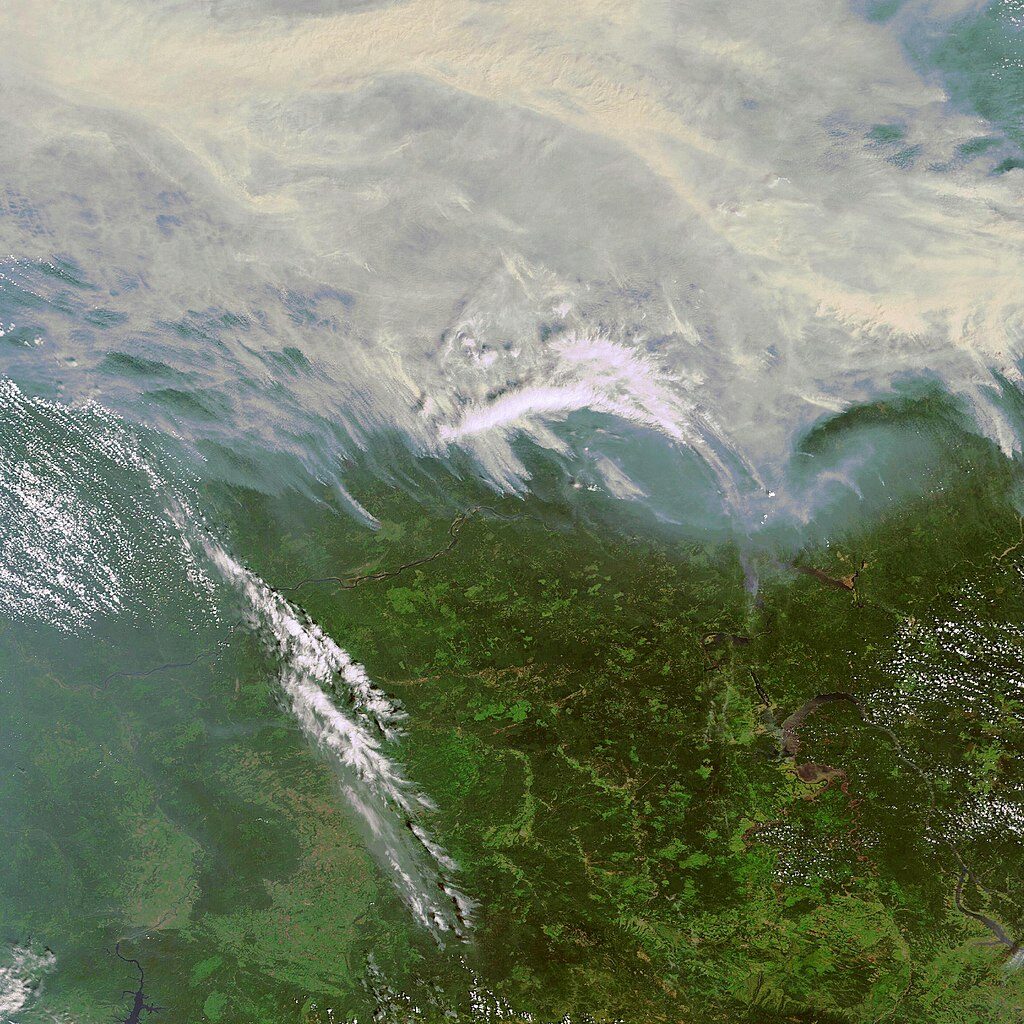
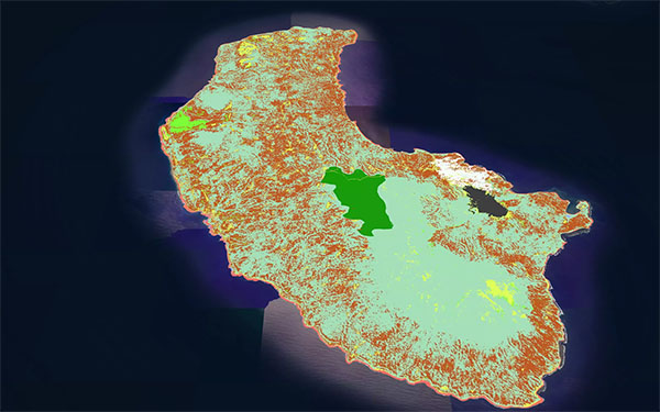
Fire and logging threats to primary forests in central Siberia
Using remote sensing time series, we found increasing trends in fire and logging disturbances in primary forests of the Angara case study region. We also found large increases in fires closer to human settlements, roads, and logged sites.

Definitions, data, and methods for primary forest assessment
This report has been prepared to review and assess definitions relating to primary forests; to collate and evaluate the datasets and methods currently available for measuring the extent of primary forests; and to provide options for defining, assessing and reporting on primary forests.